Dr. Garik Gutman
Program Manager for the NASA Land-Cover/Land-Use Change (LCLUC) Program, USA
He is author of about 80 publications in peer-reviewed scientific journals and of several chapters in various climate and land-cover related scientific books. Dr. Gutman was the Chief Editor of a compiled book “Land Change Science” published in 2004 based on the results of the projects supported by the NASA LCLUC Program during the first 8 years of the program. He has been a lead or co-editor on several books on LCLUC-climate interactions: in the Eurasian Arctic, in Siberia, in East Asia drylands, and in Eastern Europe.
Dr. Gutman’s current research interests include the use of remote sensing for detecting changes in land cover and land use, and analyzing the impacts of these changes on climate, environment and society. His NASA research program helps to develop the underpinning science and promotes scientific international cooperation through supporting the development of regional science networks over the globe under the GOFC-GOLD international program. Dr. Gutman has been playing a key role in building two multi-agency, international programs: 1) Northern Eurasia Earth Science Partnership Initiative (NEESPI), and 2) Monsoon Asia Integrated Regional Initiative (MAIRS), both under the International Geosphere-Biosphere Programme (IGBP) and the World Climate Research Programme (WCRP). Dr. Gutman represents NASA in CEOS Working Groups and in the CEOS Land Surface Imaging Constellation team. He is Program Scientist for Landsat, EO-1 and Terra satellites. Dr. Gutman chaired the US Global Change Research Program Land-Use/Land-Cover Change Working Group for two years. He collaborates with USGS on Landsat-related activities and co-leads the NASA-USGS Global Land Survey initiative. He has wife and two daughters. His hobbies include guitar, fencing, tennis, and learning languages.
Prof. Volker Radeloff
Professor at Department of Forest and Wildlife Ecology at the University of Wisconsin – Madison, USA
He is author of more than 100 publications in peer-reviewed scientific journals and of several chapters in various land-cover related scientific books.
He has been principal investigator of several international projects focussed on different case studies around the world.

Assoc. Prof. Jessica McCarty
Associate Professor at Miami University, USA
Dr. McCarty is an Associate Professor of Geography and Director of the Geospatial Analysis Center at Miami University. She has more than 15 years’ experience in applications of geospatial and data science to terrestrial and atmospheric studies. Her expertise includes wildland and prescribed fire, agriculture and food security, land-cover/land-use change, natural resources, and climate change. She is author/co-author of more than 40 peer-reviewed journal articles, 12 peer-reviewed conference proceedings, 4 book chapters, 4 technical reports, 4 data citations, and 1 NASA Technology Transfer. She has served as Principal Investigator and/or Co-Investigator on NASA, U.S. Environmental Protection Agency, U.S. Department of Agriculture, U.S. Forest Service, and U.S. National Science Foundation grants. She has worked with the United Nations, IRRI, CIMMYT, and ICCI on global issues on fire and air quality, climate change, land use management, and food security. She is currently a U.S. representative to the Arctic Council, and was a visiting Research Scientist at the Finnish Environment Institute (SYKE) in Spring 2022 in Helsinki, Finland.
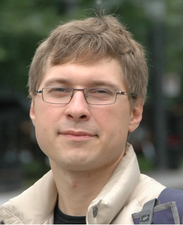
Asst. Prof. Sergii Skakun
Assistant Professor at University of Maryland, College Park, USA
Dr. Sergii Skakun is an Assistant Professor at the University of Maryland, College Park with a joint appointment at the Department of Geographical Sciences and the College of Information Studies (iSchool), and a Research Scientist at Terrestrial Information Systems Laboratory, NASA Goddard Space Flight Center (GSFC), Greenbelt, MD. He has participated as a PI or Co-I in projects funded by NASA, Google, European Commission (EC), EC Joint Research Center (JRC), U.S. Civilian Research & Development Foundation (CRDF), National Academy of Sciences of Ukraine, State Space Agency of Ukraine and Science & Technology Center in Ukraine (STCU). He is currently co-leading a CEOS Cloud Masking Inter-comparison Exercise (CMIX) and serving as an Associate Editor for the journal Remote Sensing of Environment. His current research focus is to advance methods, models and emerging technologies in the area of data science for heterogeneous remote sensing data fusion, processing and analysis, and their applications to Earth System Science and areas of societal benefit.
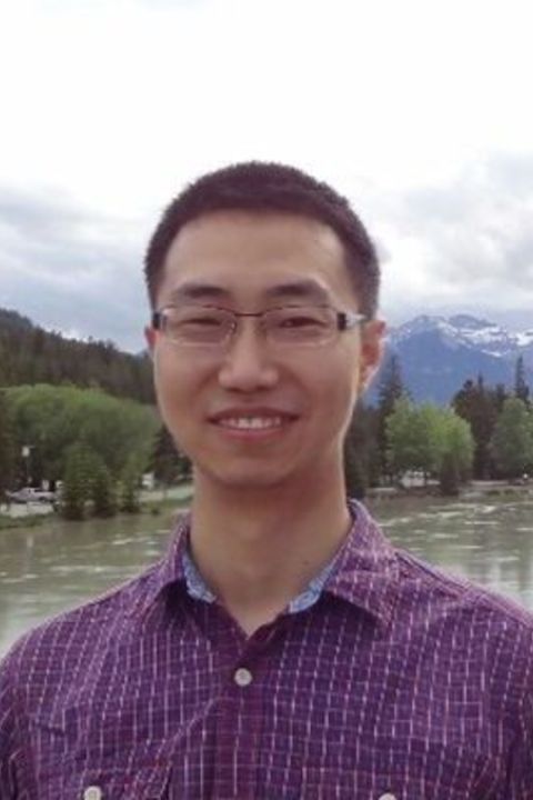
Asst. Prof. He Yin
Assistant Professor at Department of Geography, Kent State University, USA
Dr. Yin is an Assistant Professor of Geography at Kent State University. He develops remote sensing algorithms to monitor land use and land cover change, and to understand how such changes can affect our environment and society via land system analysis. Recent projects funded by NASA and Lawrence Livermore National Laboratory include investigating the impacts of armed conflict on land use, cropland abandonment, and grassland management using remote sensing techniques. He has published more than 40 publications in peer-reviewed scientific journals.
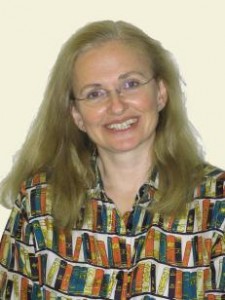
Dr. Petya Campbell
Research Associate Professor at NASA/GSFC and University of Maryland Baltimore County, USA
Currently, she is part of a research effort to develop spectral bio-indicators of vegetation stress, to facilitate the remote-sensing assessment of vegetation photosynthesis and carbon sequestration. She is also participating in an EO-1 Hyperion data intercalibration and analysis effort, with the goal to compare existing and suggest new land cover products, addressing vegetation type and function. As the former Technical Secretariat of the Working Group on Calibration and Validation of the Committee on Earth Observation Satellites (CEOS/WGCV), she follows with interest the plans for new satellite capabilities of various agencies and would like to contribute to the efforts on data calibration, product development, validation and inter-comparison.
