 CzechGeo is a comprehensive system of geophysical fields observations operated by the geosciences institutions of the Czech Republic. The backbone of the CzechGeo System is formed by the permanent observatories engaged in global data networks whose observed data are accessible in real time. The permanent observatories are complemented by local stations in selected areas significant in the long-term for basic research or application. The third level of the System is formed by mobile stations which serve for repeated observations at selected points, or field measurements, usually within the scope of large international projects.
The CzechGeo system is closely connected with the large European research infrastructure – the Project ESFRI/EPOS (European Plate Observing System) included in the European Road map in 2008. The purpose of the EPOS Project is to create a unified permanent European infrastructure, which would integrate the existing geophysical, geodetic and geodynamic monitoring networks, local observatories, inclusive of observations of the dynamics of the Earth’s surface in situ, volcanological stations and experimental laboratories in Europe.
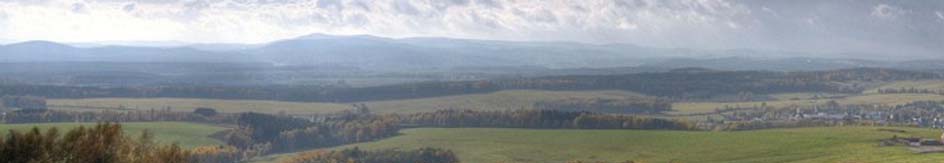
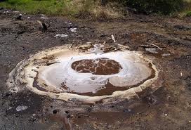
CarbonNet monitoring network, a part of the CzechGeo, is focused to the monitoring of carbon dioxide degassing in the area of the Cheb Basin and Kaiserwald. The ascending CO2 whose deep origin is documented by isotope analyses, passes through the entire crust and brings information about the conditiona along its pathh. The possible variations in gas production may indicate varying stress state related to the seismic actiivity.