History of Cartography
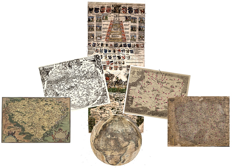
Old cartographic documents are a very useful source of information about the territory, its habitation and landscape. They represent important historical, cartographic and geographical documents. They provide visual information about how the landscape or specific buildings, phenomena and processes looked in the past and how they were depicted by their creators at a specific time. With their use, it is possible to study, analyse and then detect changes in the territory, landscape and society, or identify possible anthropogenic interventions in its character.
An important source of data for study and research is the Map Collection of the Faculty of Science of Charles University. The collection contains one of the largest and most important collections of maps in the Czech Republic. Its electronic catalog contains more than 68,000 bibliographic records. The maps digitised within the TEMAP project are available in the Kramerius Digital Library and the Digital Map Collection. It is a university collection for science, research and teaching.
Our research activities in the field of historical cartography are focused on the following topics:
- Analysis of watercourses on old maps of Bohemia (Ing. Miroslav Čábelka, doc. Ing. Tomáš Bayer, Ph.D.)
- Content, semiotic and cartometric analysis of old maps of the Bohemian lands (Ing. Miroslav Čábelka, doc. Ing. Tomáš Bayer, Ph.D.)
- Digitization, visualization and analysis of old globes (RNDr. Eva Novotná, Ph.D., Ing. Miroslav Čábelka, Ing. Eva Štefanová, Ph.D.)