Introduction | Projection detection | Installation | Using the tool | Samples | Supported projections | References
Introduction
Maps are an important part of our history and cultural heritage; close attention is paid to their study and research. They can be examined from several perspectives as historic documents, a documentation of the land changes, or as a cartographic source of information. New methods and techniques for map analysis allow for the creation of full or partial geometric reconstruction of its content. This approach belongs to the category of cartometric analysis, the capabilities of which have been significantly improved with the rapid development of the computer technology.

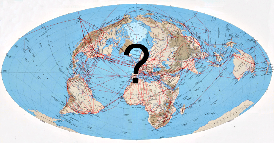
Sometimes, we are interested in the early map projection, but this information may absent. So far, the parameters have been estimated only visually. Currently, this step can be performed semi-automatically and with a higher degree of relevance using the detectproj software. During the analysis, the best constant values of the projection and the map are determined.
